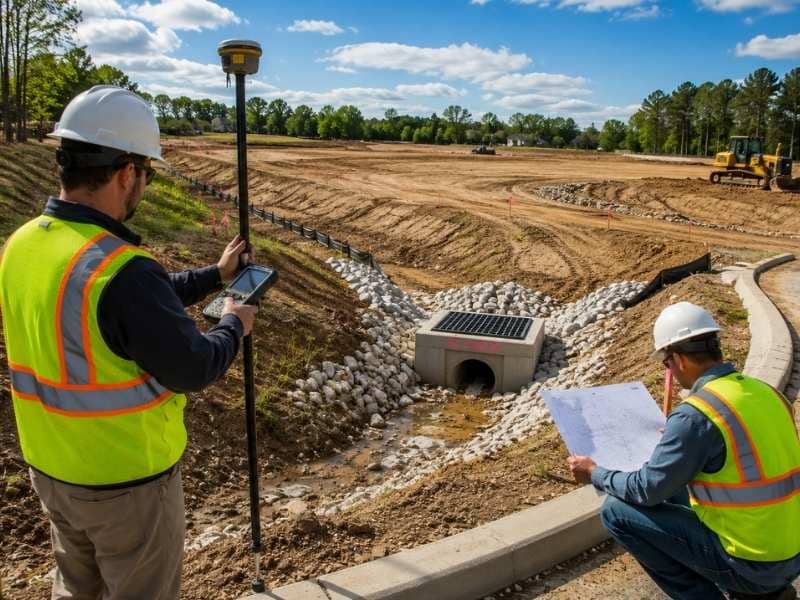
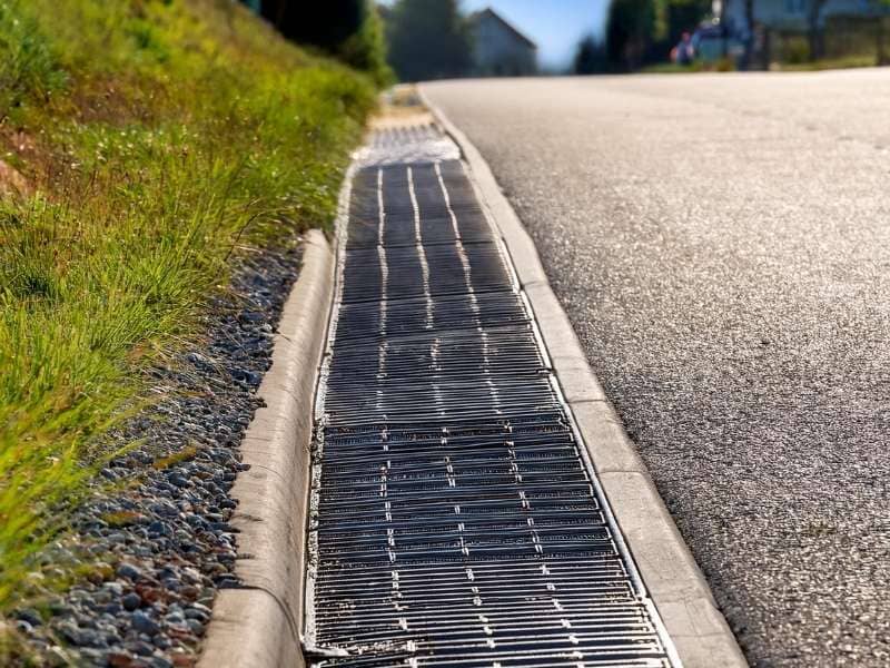
A site next to a drainage features can look fine on a normal day. Then a heavy rain hits, and water goes where nobody planned for it. Storms can drop a lot of rain fast. That gap between “looks fine” and “actually works” causes real problems for builders and property owners.
A topographic survey closes that gap. It maps the exact shape of the land. This includes the channel, the slopes around it, and any pipes or inlets tied to it. With that data, engineers can design grading and drainage that holds up when the rain comes.
This article walks through what a topographic survey should capture on a site near a roadside drainage channel. It also covers why each piece matters before construction starts.
Map Drainage Channel Elevations Along the Site Edge
The first step is simple. A surveyor needs exact elevation data along the length of the drainage channel next to the property. This means recording the top of bank, the channel bottom, and the water line if water is present during the survey.
Without this data, a site design is really just a guess. Engineers need real numbers to know how high the channel banks sit compared to the building pads, parking areas, or roads planned for the site.
Elevation data along the channel should include:
- Top of bank elevations on both sides of the channel
- Channel bottom or flow line elevations at regular points
- Any visible high water marks or erosion patterns
- Elevation points where the channel crosses the property line
This data becomes the baseline for every other decision on the site. If the channel elevations are off by even a foot, the drainage design built on top of them will be off too.
Measure Slopes Between Development Areas and Roadside Channels
Once the channel elevations are set, the survey needs to show how the land slopes between the channel and the areas planned for construction. This tells engineers how fast water will move, and whether it will flow toward the channel or pool somewhere it should not.
Steep slopes near a channel can mean erosion problems. Flat or reversed slopes can mean standing water right where a building or parking lot is supposed to go. Either one changes how a site should be graded.
A topographic survey should capture:
- Ground elevations across the full path between the channel and the development area
- Any existing swales, berms, or low points that already direct water
- Slope percentages in areas planned for buildings, parking, or roads
- Spots where existing grades may not meet current stormwater rules
Many properties in and around Enterprise sit on soil that does not drain fast, especially after heavy rain. That makes slope data even more important. Standing water can sit longer than expected if grading is not planned around it.
Locate Culverts, Inlets, and Other Drainage Features
A roadside drainage channel rarely works alone. Culverts, inlets, headwalls, and pipes usually connect to it. They move water under roads or into the channel from other parts of the site or the area around it. A topographic survey should locate every one of these features near the property.
Missing a culvert or inlet during survey work can lead to a drainage design that conflicts with what is already there. That often means a redesign later, once construction crews find something the plans did not show.
Features to locate and record include:
- Culvert pipe ends, sizes, and invert elevations
- Storm drain inlets and catch basins near the site
- Headwalls or other structures tied to the channel
- Any pipe that crosses under a road, driveway, or the property itself
Getting this right matters for permitting too. Many municipalities and county offices want to see existing drainage infrastructure clearly shown before they approve new site plans.
Use Survey Data to Support Grading and Site Design
Once the elevations, slopes, and drainage features are mapped, that data becomes the base for grading and site design. Civil engineers use it to plan how stormwater will move across the finished site, from rooftops and parking lots down to the channel.
Good survey data lets an engineer design grading that moves water where it should go, instead of guessing and hoping it works. It also helps confirm the site can meet stormwater rules before construction drawings are finished.
Topographic survey data supports design choices like:
- Setting finished floor elevations high enough to avoid drainage problems
- Designing swales or detention areas that tie into the existing channel
- Confirming parking lot and road grades will shed water the right way
- Checking that new grading does not push more water onto neighboring properties
Skipping accurate survey data here often means costly grading changes once construction begins. It can also mean drainage that simply does not work the way it was designed to.
Identify Drainage Constraints Before Construction Planning
Before construction planning locks in, a topographic survey can flag limits tied to the drainage channel. These limits might affect what can be built and where. Catching them early gives a project team time to adjust the design, instead of finding a problem in the middle of construction.
Common limits tied to roadside drainage channels include:
- Required buffers or setbacks from the top of bank
- Floodplain or base flood elevation data that may affect the buildable area
- Easements tied to the channel or its maintenance access
- Existing drainage patterns that limit where new pavement or roofs can go
These limits can vary by property, municipality, and county. It is worth checking specific rules with local planning staff early in the process. If your project timeline depends on permitting or financing tied to site drainage, order your topographic survey as soon as you can. Do not wait until design is already underway.