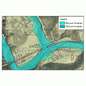
Land surveying, basically, is the science and art of establishing or re-establishing property corners, property lines and/or boundaries. There might be different reasons why someone wants a piece of land surveyed. The most common is to see whether a piece of land is susceptible to flooding, to subdivide real estate to sell or deed to relatives as well as to know if there are any encroachments. This might happen when a neighbour disputes you are using a part of his lot or vice versa (for more about this, click here).
 If you need to have a chunk of property surveyed, the first thing that may come to mind is “how much would land surveying cost?”
There are plenty of factors determining exactly how much land surveying cost. The fact that this kind of service has to be done by an expert contributes a great deal to the overall land surveying cost, but choosing a non-professional to survey your land is dangerous and probably illegal for the non-professional. That is why you really should to take a good look around before settling with a surveying company.
If you must work inside a particular budget, discuss this with the surveyor up-front. Often times he may manage to offer land surveying cost saving steps to get the work you need done within these cost limits. The form of the land also needs to be considered. A square or even a rectangle piece of land is easier to survey than an odd shaped parcel, or one with a lot of sides. With the latter, the surveyor would need to take more time in surveying the curves as well as the bends meaning the land surveying cost of the service would increase. The actual size of the land is also an important factor here.
Remember that the land surveying cost is usually proportionate to the time and effort that a land surveyor would spend on the project. If the land that you’re having surveyed is not accessible, or has thick vegetation, then the total price of the survey might go higher. This is true of the varying weather conditions that might affect the work. Surveying in warm weather is sort of slower to keep from putting the crew members in danger. Also, most surveying can't be done during the rain.
When requesting for a quote, remember that surveyors base the estimate on expected conditions at the site. These conditions could change, bringing about additional costs. Always inquire about these potential additional land surveying cost scenarios.
All that being said, competitive prices are also to be expected, this is why we recommend selecting a surveyor based upon his experience and reputation rather than on the price he writes on a piece of paper. Usually it is far better to shell out a good amount of money on a survey that’s well-done rather than select a company with a very “affordable” price but have the survey repeated because the results were wrong.
To sum up, you should always discuss the expenses of the survey before you ask the surveyor to begin his work. You should also receive a contract that lets you understand what is expected of the land surveyor. This is one of the most important steps in getting your land surveyed.

