
Cadastral Surveyor Work for Land With Conflicting County Records

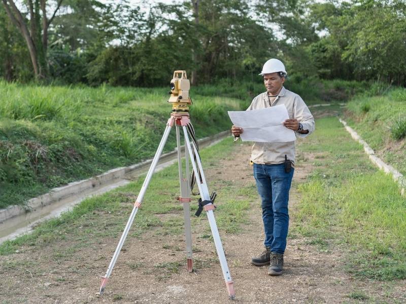
Cadastral surveyor using surveying equipment to verify land boundaries and field conditions in Enterprise Alabama

You pull your parcel data from the county, and something feels off. The acreage on file doesn’t match what you walked. A neighbor’s deed seems to claim a strip you always thought was yours. The maps and the ground tell two different stories.

Conflicting county records are more common than most owners realize. Old descriptions, hand-drawn maps, and decades of splits can leave a trail that no longer lines up. A thorough land records review helps identify where those inconsistencies began by comparing deeds, plats, and historical documents tied to the property. When the paperwork disagrees with itself, or with the land, a decision like building or selling gets risky fast.

This is the work of a cadastral surveyor. A cadastral surveyor specializes in property boundaries and the official land records that define them. The short takeaway is simple. If your county records conflict, confirm the true boundary with a professional before you spend money or make legal moves.

Why County Records Can Conflict With Property Conditions

A cadastral surveyor deals with the cadastre, which is the public record of land parcels and their boundaries. That record includes deeds, plats, tax maps, and past surveys. Over time, these documents can drift apart from each other and from the actual land. A surveyor compares this information with field evidence found on the property to understand how the recorded information matches real conditions on the ground.

Several things cause the mismatch. Parcels get split and combined across generations, and each change adds a new description that may not match the last. Older deeds often use vague references like a fence, a tree, or a creek that has since moved or vanished. Small measurement errors from decades ago can also carry forward and grow.

County tax maps add another layer of confusion. These maps are built for assessment, not for pinpoint boundary accuracy. People treat them as exact when they were never meant to be. A cadastral surveyor knows how to weigh each source and spot where the conflict really sits.

Reviewing Historical Documents and Parcel Information

The first step is research, and it happens before anyone sets foot on the land. A cadastral surveyor gathers every relevant record tied to your parcel and the ones around it. This review may include documents that reference elevation records and other site information that can affect how the property is understood. The goal is to build a clear chain of how the boundaries were created and changed.

This review usually pulls together several documents:

  • The current deed and its legal description
  • Recorded plats and subdivision maps
  • Prior survey maps and field notes
  • Deeds for adjoining parcels
  • County tax and assessment maps
  • Easement and right-of-way records

Reading these together often reveals the source of the conflict. One deed might describe a line that overlaps a neighbor’s. A plat might show a road or easement that the tax map leaves out. By tracing the history, the surveyor can figure out which record should control the boundary and which was a later mistake.

Comparing Recorded Boundaries With Field Evidence

Records only tell half the story. The other half is on the ground, and that is where a cadastral surveyor confirms what the documents claim. Field work turns paper descriptions into real positions you can see and trust.

During this stage, the surveyor locates physical evidence across the site. That includes existing survey pins, iron pipes, capped monuments, and old corner markers. It also includes long-standing features like fences, walls, and tree lines that may reflect how the boundary has been used for years.

Then the comparison begins. The surveyor measures the site with precise equipment and checks those measurements against the recorded descriptions. When a marker matches the record and the math, it strengthens the case for that line. When the evidence clashes, the surveyor analyzes why and applies established boundary principles to reach a defensible answer. This is skilled judgment, not guesswork.

Addressing Conflicting Records During Development Planning

Conflicting records hit hardest when you are trying to develop or improve a property. A boundary you cannot prove can stall a permit, a sale, or a construction start. Sorting it out early keeps a small problem from freezing your whole project.

For buyers and developers, the cadastral survey feeds directly into planning. It confirms usable area, setbacks, and easements so your site design rests on solid numbers. If a conflict shrinks your buildable space or reveals an encroachment, you want to know before closing, not after you have poured a foundation.

Sometimes the survey uncovers an issue that needs more than measurement. An overlap between two deeds may call for a boundary line agreement, a corrected deed, or legal advice. A cadastral surveyor cannot practice law, but the survey gives your attorney and title company the facts they need to resolve it. Requirements and next steps can vary by property type, lender, title company, county, and city, so confirm what your situation needs early.

Reducing Property Risks With Accurate Land Information

Most boundary disputes and title surprises come from acting on bad information. Someone trusts a tax map, builds a structure, and later learns the real line runs somewhere else. Cleaning up that kind of mistake costs far more than confirming the boundary first.

Accurate land information protects you in several ways. It supports clean title and smoother closings. It lowers the odds of a fight with a neighbor. It gives lenders and title companies the certainty they often require before funding or insuring a deal.

If your county records conflict, treat the survey as a first step, not an afterthought. Order it early, especially when a closing, permit, or build schedule depends on the answer. A clear, accurate boundary lets you move forward with far less risk hanging over the project.
When a Plat of Survey Reveals a Building Across an Easement

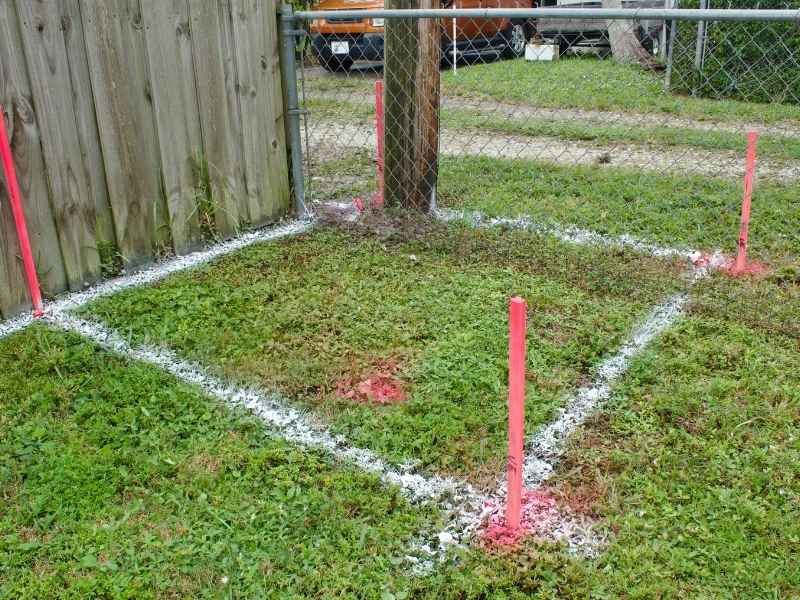
Plat of survey showing marked property boundaries near a recorded easement in Enterprise, Alabama.

A plat of survey places two important details on the same page. First, it shows your building’s actual footprint. Second, it maps the recorded easement lines taken from public records.

The surveyor measures exactly where your house, garage, or shed sits, then plots the easement edges right beside it. When those details are compared with the property line, the relationship between the structure, the easement, and the rest of the parcel becomes much clearer. You can see whether a wall or a corner extends into the easement strip.

The survey plat also shows how far the structure extends into that area, whether that’s a few inches or several feet. Either way, you finally have the answer in writing instead of a guess.

Why Older Improvements May Not Match the Easement Layout

Easements usually go in early, back when developers first laid out the land, sometimes decades ago. At that point, the lot may have been mostly empty.

Over the years, owners add features. One builds a garage. Another puts up a carport or a back porch. Whoever built them may never have checked the easement lines.

As a result, a structure can end up in a location the easement never accounted for. Older properties run into this often. The land changed, yet the recorded easement stayed the same.

Whether the Building Predates the Easement Matters

The sequence of events can shift the entire picture. In some cases, the building went up first, and the easement came later, wrapping right around it. In others, the easement came first, and someone built over it years afterward.

Determining which came first helps explain how the conflict developed. It can also affect your rights and options, so this detail is worth pursuing.

Old property records help you piece together the timeline. Review permits, past surveys, deed history, and the recorded easement date. A surveyor or title researcher can help you sort out what happened and when.

The Easement Document May Reveal More Than the Survey Drawing

The plat shows where the easement runs, while the recorded easement document explains what it’s actually for. These are two separate things, and you need both.

Pull the original easement from county records and read it closely. Check the width, the purpose, and who holds the right to enter. Some easements cover utility lines, while others cover drainage or shared access.

Don’t skip the finer details either. Look for maintenance provisions and any right to remove structures that block access. The lines on the survey plat won’t spell out your obligations, but the language in the document will.

What Happens When Future Work Involves the Same Easement Area

A building over an easement can sit quietly for years without anyone noticing. The issue resurfaces the moment you decide to change that structure.

Suppose you plan to repair, rebuild, expand, or replace it. Permit reviews may flag the easement at that point. The easement holder might also require access, or object to new work in that space.

This is where your plat of survey proves its worth. It gives everyone a clear record of the existing conditions before the project begins. Bring it early to the surveyor, the utility, or the city, and you’ll catch problems before they stall your build.

Frequently Asked Questions

What is an easement on a plat of survey?

An easement is a legal right that lets someone else use part of your land. It commonly covers utility lines, drainage, or shared access. On a plat, the surveyor marks the easement as a defined strip or line. That way, you can see exactly where it crosses your property.

Can I keep a building that sits over an easement?

Often the answer is yes, though not always. The easement’s purpose and the rights it grants determine the outcome. The holder may allow the structure to stay, or may ask you to remove it. Speak with a surveyor, title company, or attorney to understand your real options.

Who do I contact if my plat shows an easement problem?

Start with the surveyor who prepared the plat, since they can explain what the drawing shows. Next, a title company or real estate attorney can review the recorded easement and your rights. For a utility easement, the utility company may need to weigh in as well. Involving the right people early will save you stress later.

Does a building over an easement lower my property value?

It can, particularly if it concerns a buyer or a lender. Some buyers walk away from surprises like this one. Others accept it once they understand the easement’s terms. A clear plat and a careful review help you explain the situation and protect your value.

Will I have to move a structure that crosses an easement?

Possibly, though not in every case. The easement holder decides whether the structure can remain in place. If they need full access, they may ask you to move or remove it. Get advice from a surveyor and an attorney before you assume the worst or spend money.

Surveyor Reviews Before a Private Road Becomes a Shared Entrance

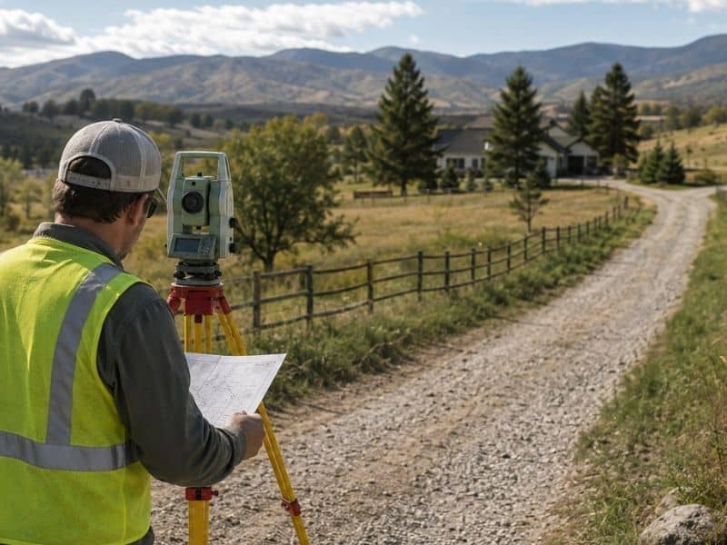
Surveyor reviewing a site map beside surveying equipment on a rural private road in Enterprise, Alabama, helping assess access before the road becomes a shared entrance.

Out in the rural stretches, one gravel lane often serves a single home for years. Then a few parcels get sold off, and suddenly that same road has to carry several families in and out. Before that happens, a surveyor should take a close look at the road, and a construction survey can capture exactly what sits on the ground today. That early review gives every owner a fair starting point. It also helps head off arguments once the road becomes a shared entrance. 

Reviewing the Existing Private Road Before Shared Use

A surveyor starts by walking and measuring the road as it truly exists, not as anyone remembers it. The physical route matters most here. The surveyor traces where the lane begins, where it bends and where it ties into the public road. Those connection points show how traffic really flows in and out. The surveyor measures width at several spots too, since a lane that feels wide near the front can pinch down to one car near the back.

The surveyor also takes note of the features along the way. Culverts, cattle guards, gravel patches, low spots that hold water and rough grade changes all shape how well the road handles daily use. A soft shoulder or a washed-out edge may not bother one household, but it can turn into a real problem once several vehicles run over it every day. By recording these conditions early, the surveyor gives the owners a clear picture of what the road can take before they lean on it together.

Checking How the Road Is Described in Property Records

Once the surveyor finishes the field work, the next step is comparing the road on the ground with the road on paper. Deeds, recorded plats and older survey maps often describe an access route, and that written route does not always match the lane people actually drive. Over the years, a road can drift. Someone regrades it around a wet spot, or shifts it to dodge a fallen tree, and the traveled path slowly moves away from where the documents place it.

This comparison answers one simple but important thing. It shows whether the access in the records lines up with the road being used. When the two agree, the owners can move forward with confidence. When they don’t, the surveyor can point out exactly where the paper route and the real route split apart. That way, the group learns about the gap before they build a shared arrangement on top of it, instead of finding out later.

Identifying Practical Access Issues for Multiple Rural Properties

When one entrance has to serve several rural properties, the road stops being a simple driveway and starts working like a small shared street. A surveyor looks at whether the lane is wide enough for two vehicles to pass, or whether drivers will have to back up and wait for each other. Tight width becomes a daily headache when a delivery truck, a farm trailer and a family car all want the same stretch at the same time.

Turning areas count just as much. A big truck or an emergency vehicle needs room to swing wide and, in many cases, room to turn around. If the road dead-ends with no space to reverse direction, that limits who can reach the back parcels. The surveyor also flags spots where users are likely to bump heads, like a blind curve near the shared entrance or a narrow bridge that fits only one vehicle. Catching these pinch points now helps the owners plan around them instead of fighting over them later.

Documenting the Existing Route Before a Shared-Entrance Agreement

Documenting the road’s current shape and location gives every owner a shared reference they can trust. Memory fades, and people honestly recall the same road in different ways. A clear record settles those differences before they grow into disputes. A construction survey at this stage captures where the road sits, how wide it runs and what condition it’s in on the day of the work.

A useful record often includes:

  • the mapped centerline and edges of the traveled way
  • measured widths at key points along the route
  • the location of culverts, gates and other built features
  • notable grade changes, drainage paths and rough or soft sections

With this on file, the owners hold a fixed snapshot of the road before anyone shares it. So if the surface wears down or someone widens a section later, the group can look back and see how things started. Accurate documentation keeps everyone honest about the original condition, and it takes a lot of the heat out of future disagreements.

Survey Information That Can Support a Rural Access Agreement

Survey information gives everyone at the table a solid physical reference when they sit down to work out a shared-road arrangement. Property owners can see the road as it truly is, not as they picture it. Attorneys and other professionals can then build the written terms around real measurements and mapped conditions, rather than rough guesses. A surveyor supplies the facts about location, width and features, while the legal language stays with the people trained to write it.

This split keeps each part of the job in the right hands. The surveyor answers where the road is and what it looks like. The attorney handles what the owners may and may not do with it. When those two pieces fit together, the finished agreement rests on accurate ground data, and the owners around Enterprise share their entrance with far fewer surprises.

Frequently Asked Questions

What should a surveyor check before a private road becomes a shared entrance?

A surveyor looks at where the road physically sits, how it connects to each parcel and the public road, its width and built features, plus how the recorded access lines up with the lane in use. Together those checks show whether the road can handle several households at once.

Can a surveyor document an existing private road before an access agreement is signed?

Yes. Field documentation can happen at any point, and doing it early creates a dated record of the road and the land around it. The owners then hold that snapshot before they lock in how they’ll share the route.

Why should rural property owners review an existing private road before sharing it?

An early review helps everyone understand the access they already have and catch practical problems, like tight width or poor turning room, before they divide duties and costs. It’s far easier to plan around an issue than to argue about it later.

Does a surveyor create the legal terms of a shared-road agreement?

No. A surveyor supplies measurements and site details about the road. The legal terms of an access agreement belong to a qualified attorney, who builds those terms around the survey’s findings.

What information can a survey provide for a shared entrance agreement?

A survey can provide the road’s mapped location, its widths, its connection points and its physical condition. These give the owners and their advisors a clear, shared reference while they review the proposed access.